
16 April 2021
REGLPORTS web-GIS
Overview
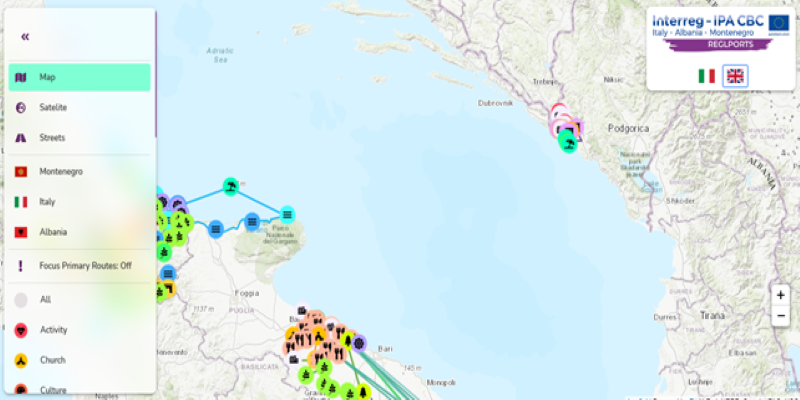
The Web-GIS platform is a tool developed in the context of the project Nautical tourism development and promotion of regional ports, with the acronym REGLPORTS.
It include: an interactive Geodatabase with all the available information (characteristics, photos, etc.) and the REGLPORTS Thematic Routes.
The web-GIS was designed to have an intuitive UI (User Interface) in order to assist every category of users, from starters all the way to experienced ones.
The home page of the web-GIS can be found at: https://reglports-gis.eu/. Alternatively, the web-GIS can be accessed through the REGLPORTS platform, found on https://reglports.eu/.
User manual: REGLPORTS_GIS_USER_MANUAL_ENG.pdf